Applications open
Detect offers a free training program for drone pilots seeking utility inspection work. Complete a course, a capture task, and a review call to join the Detect Partner Network to fly the utility work Detect wins.
From the team behind 2,600-structure utility inspection campaigns.
The Partner Network
The Partner Network is Detect's community of qualified drone pilots - the pilots who fly the utility inspection work Detect wins. The way in is the Data Quality Program: free training, a self-paced capture, and a review call, all in the Partner Portal in DetectOS.
Two parts and a review call. Set aside about two hours - 30 to 60 minutes of prep, under an hour in the field. Free at every step.
Self-guided videos and short quizzes in the Partner Portal - five topics, at your own pace. A certificate when you finish.
Pick one of three pre-built shot sheets - vehicle, light pole, or distribution pole. Capture manually with any quadcopter drone, review your frames against the sheet, upload to DetectOS, then a 30-minute review call with Detect. A second certificate follows.
Pass both parts and you are eligible to join the Partner Network. A qualification check - insurance, licenses, documents - comes before your first project. Didn't pass? You get notes and re-fly, with no cap on attempts.
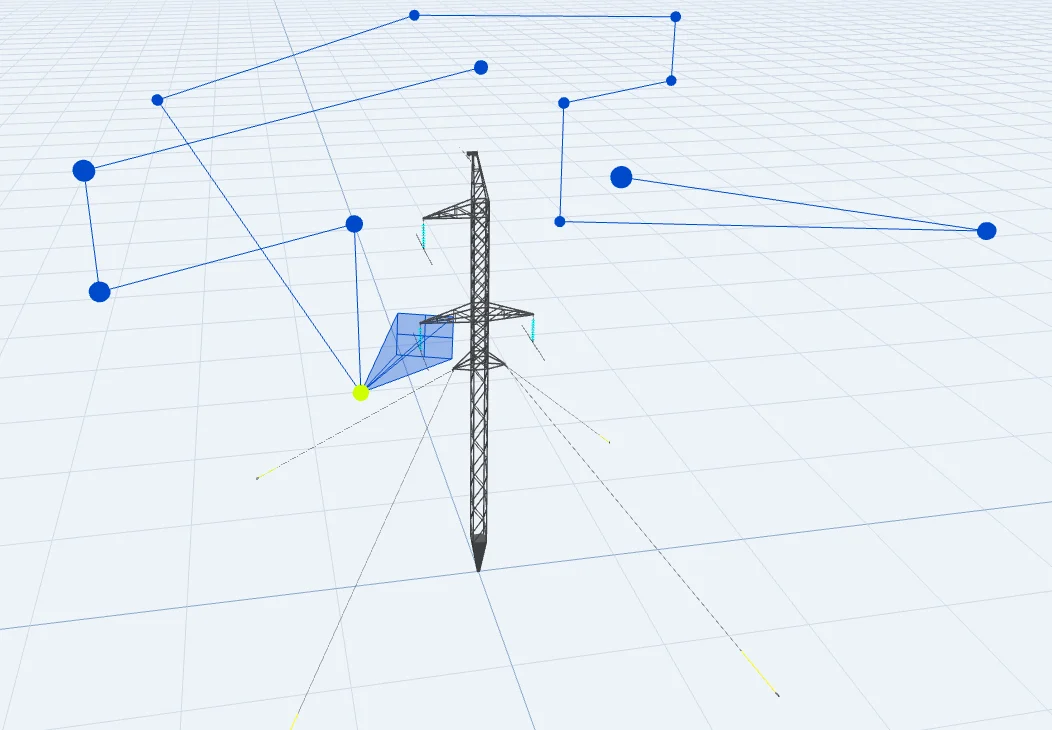
A pre-built capture plan: every position and photo the workflow needs, mapped for one structure type - so any skill level can fly it, manually, at their own pace. Part 2 uses one of three:
Aerial survey data standardization starts before the flight: a utility gets one usable dataset from many contractors only when every pilot flies the same capture standard and every image is graded against it. The Data Quality Program is that standard as a service for U.S. utility infrastructure - a shot sheet per structure type, a workflow verification each pilot must pass, and a Partner Network of qualified pilots - so aerial surveying for utilities produces one record per structure whoever flew it.
Each structure type gets a pre-built shot sheet - every position and angle defined - and each pilot proves they can fly it before they touch your network. Standardized capture takes delivered-imagery rework from 15 to 25 percent down to 3 to 7 percent within two campaigns (Detect, State of Utility Drone Inspections 2026).
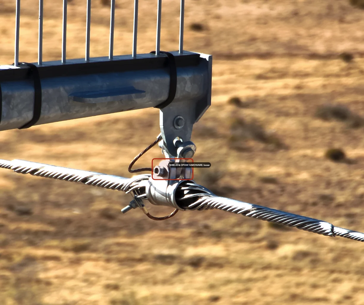
On ingest, DetectOS associates each frame to the right structure and grades it for assessability before any analysis runs. Sharp capture keeps 100% of a 258-type defect catalog assessable; blurry capture keeps 7% (Detect Data Quality Program asset-owner report). The grade is written to the record, so a utility can see data confidence beside every health score.
Pilots who pass both parts of the program join the Detect Partner Network and fly the utility inspection work Detect wins - any pilot, any quadcopter drone, one standard. A qualification check on insurance, licenses, and documents comes before the first project.
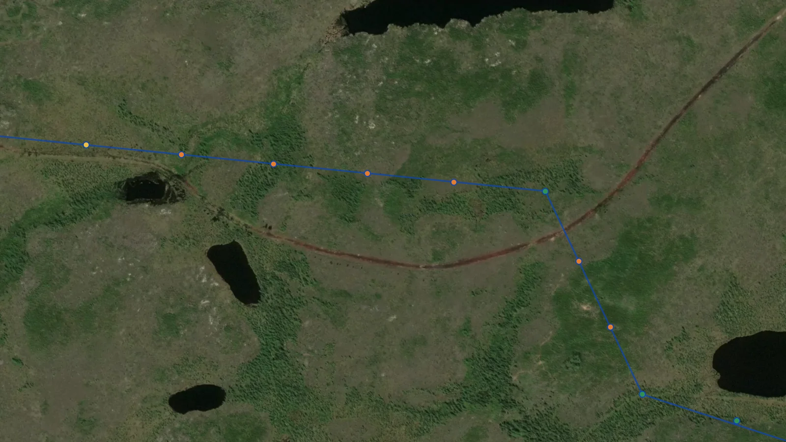
Standardized capture is what makes geospatial data management downstream a mapping exercise instead of a cleanup. Findings leave DetectOS keyed to the asset IDs your GIS and EAM already hold, with location, defect class, severity, evidence, and date - ready for the condition layer and the work-order queue. How that hand-off works is on the GIS- and ERP-ready findings section of the platform page.
Most drone pilot training in the U.S. teaches one pilot to fly and pass the exam; consistent multi-crew data capture needs a course built around the deliverable. The Data Quality Program is that course for utility work: five self-guided topics - access planning, shot sheets, power lines and components, field equipment, DetectOS - then a workflow verification each pilot flies against the same shot sheet, so five crews on one network return aerial data collection graded to one standard. It is free, and it sits above basic commercial drone certification: Part 107 proves a pilot can fly legally; the program proves the crew can deliver imagery a utility QA will accept, with a certificate for each part. Where it sits among the other tiers is set out in our comparison of drone pilot certification platforms.
For the asset manager who needs five contractors to fly the same way, the drone data standardization page covers requiring the standard in an RFP; the capture methods themselves - drone, helicopter, ground - are compared in our guide to power line inspection methods.
Five self-guided topics in the Partner Portal - short videos and quizzes, with a certificate when you finish.
Detect translates terabytes of raw imagery into a concise, prioritized list of the defects that actually matter - clear, actionable information that keeps the grid reliable, together with our partners.
James Dyson, Director of Data Quality at Detect
When Detect wins utility inspection work, qualified partners fly it. Here is what being in the network gets you.
Fly the utility inspection work Detect wins - and bring your own opportunities back through two-way deal flow.
The Data Quality Program costs nothing at any step - and you finish with a certificate for each part.
Pooled RFP visibility on the utility bids that sit behind paywalls, and contractual cover when you fly as a Detect partner.
A person sets you up at every step - apply, talk it through, sign, and your portal is ready on day one.

Identify structures, conductors, and hardware - so you know what you are photographing and why it matters.
Follow pre-built shot sheets - every angle and position defined - so every structure is captured completely and consistently.
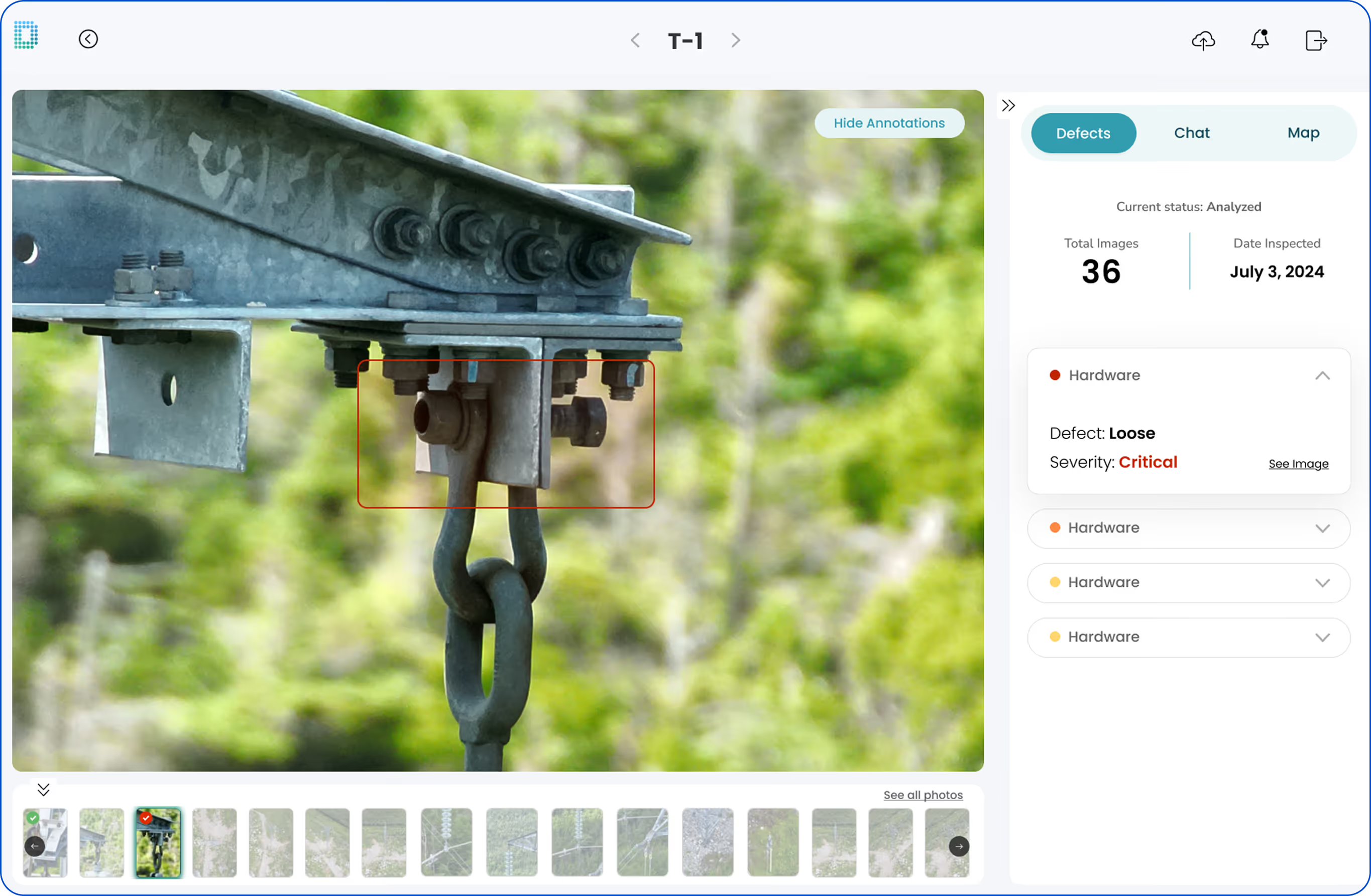
Upload and review your capture in the platform - and see how QA reads the data when it comes back.
No. Any quadcopter drone works - the program is built for manual flight with whatever you already fly.
Set aside about two hours for the workflow verification: 30 to 60 minutes of prep, and under an hour in the field. Part 1's videos and quizzes are self-paced.
Nothing. The Data Quality Program is free at every step - the course, the workflow verification, and the review call.
A 30-minute call with Detect. We confirm you followed the shot sheet and the imagery holds up - pass, and your certificate makes you eligible to become a Detect partner.
Passing both parts makes you eligible to become a Detect partner. A qualification check - insurance, licenses, and documents - comes before your first project.
Utility inspection work that Detect wins: partners get primed project flow, two-way deal flow, pooled RFP visibility, and contractual cover.
A service that fixes the capture standard before the flight and grades every image against it afterward. Detect's Data Quality Program does both: a shot sheet per structure type, a workflow verification every pilot passes, and a Partner Network of qualified pilots, with each image associated to its structure and graded in DetectOS - so a utility's aerial survey data arrives as one record per structure regardless of which contractor flew it.
Courses built around the deliverable rather than the flight. Detect's free Data Quality Program covers access planning, shot sheets, power lines and components, field equipment, and DetectOS, then verifies each pilot against the same shot sheet in the field - so multiple crews on one utility network return imagery captured and graded to one standard, above the Part 107 floor.
The Data Quality Program is the way in - free, self-guided, at your own pace. Any pilot, any quadcopter drone.
